




Huge Texture allows you to import and use textures larger than 8192x8192px in Unity.
When importing a texture, Huge Texture splits the texture into pages and saves it as a Texture Array.
Texture Array is combined on the shader side, which does not create extra draw calls and has almost no effect on performance.
When importing a texture, Huge Texture splits the texture into pages and saves it as a Texture Array.
Texture Array is combined on the shader side, which does not create extra draw calls and has almost no effect on performance.
uPano (Panoramic Solution for Unity) is a universal multi-platform solution for displaying dynamic and static panoramas, and creating virtual tours.
uPano is very easy to learn and use, and is great for people who do not have programming experience.
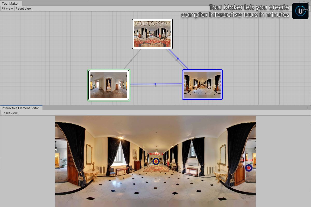
Visual Tour Maker lets you create virtual tours in minutes.
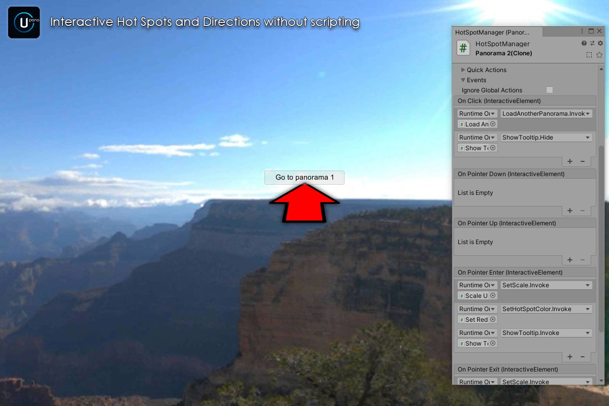
In most usage scenarios, you can make interactive panoramas without creating your own scripts.
If you have some very specific purpose, uPano has a powerful and easy-to-use API that will allow you to implement any behavior.
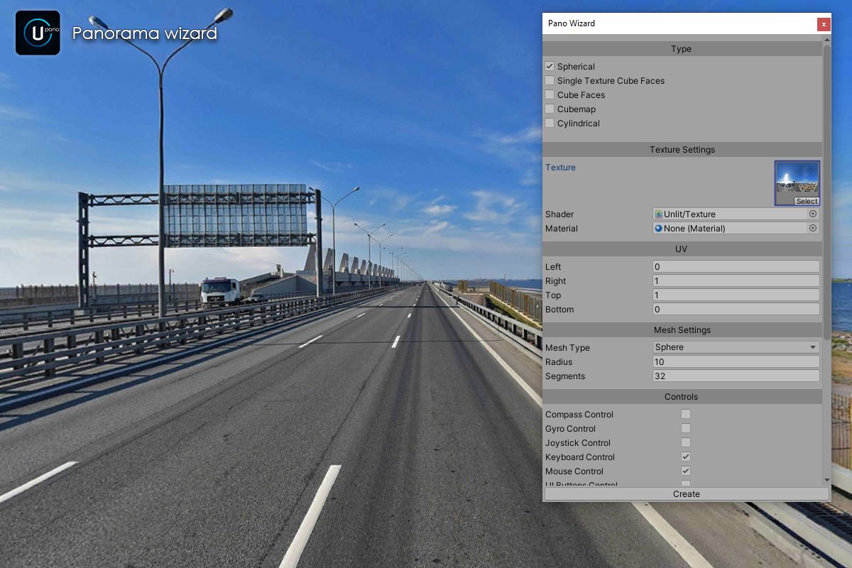
Most of the existing types of panoramas are supported: spherical, cylindrical, cubic panoramas on single or six images, cubemap.
Render Pipelines: Standard RP, URP, HDRP.
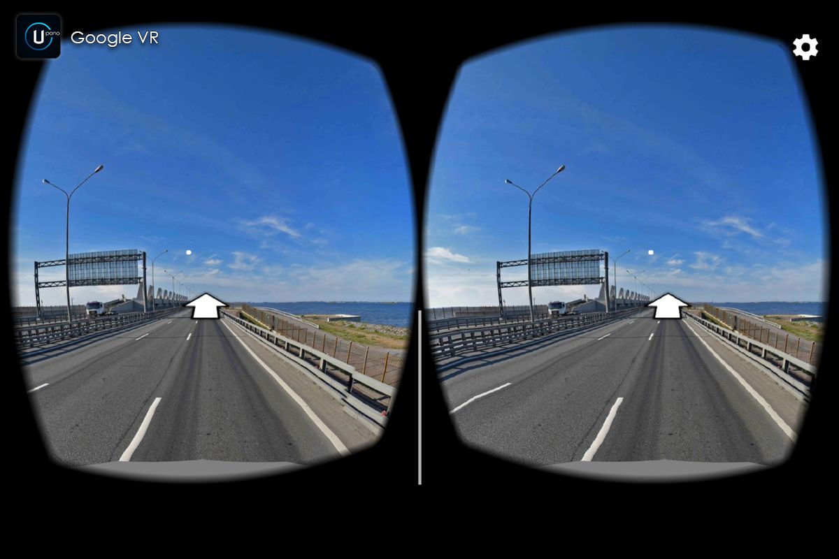
Platforms: Standalone, iOS, Android (including Google VR), Universal Windows Platform, WebGL.
Other platforms have not been tested, but most likely uPano will work well.
Additional features:
• Can display textures larger than 8192px using Huge Texture;
• Visual Tour Maker;
• Interactive elements (Hot Spots, Directions, Hot Areas) + Visual Editor;
• Lots of built-in actions for Interactive elements;
• Compound transitions;
• Video panoramas;
• Control with: mouse, touch, keyboard, gyro, compass, UI buttons, UI compass, UI joystick;
• Plugins: Auto Rotate, Downloader, Go To Direction Using Keyboard, Limits, Multi Camera, Orthographic Camera, Sync Views, Time Switch, Timed Gaze;
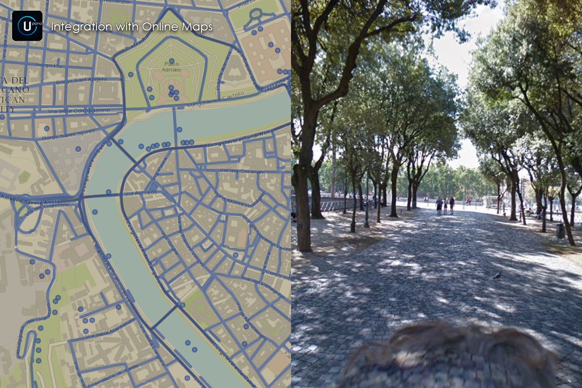
• (optional) Integration with Fingers - Touch Gestures, Huge Texture, Online Maps, Playmaker;
• Built-in update system.
Need to create interactive virtual tours with high-resolution panoramas and rich media galleries? Get uPano together with Huge Texture and Smart Gallery in the Virtual Tour & Interactive Media Bundle and save $25 compared to purchasing the assets separately.